Planning, Development & Mapping
Planning, Development:
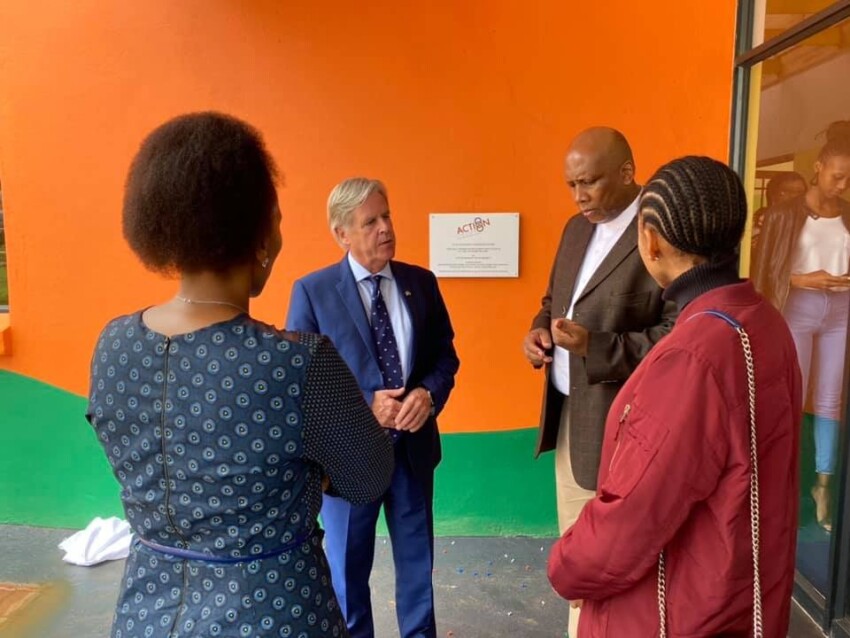
An MOU was signed in 2016 between Fingal County Council and the Lesotho Ministry of Local Government and Chieftainship, this has informed the Lesotho Planning Team of improved mapping techniques and software improvements. The Lesotho National Planning Framework has been researched together with Land Use policies with the Land Commissioner which has also ensured all our projects are in line with the needs of the Lesotho Government.
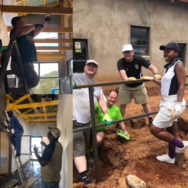
In this agreement it was clearly set out our intentions to train and equip local planners in Spatial and mapping so as to develop a foot print for the future of the country.
Mapping:
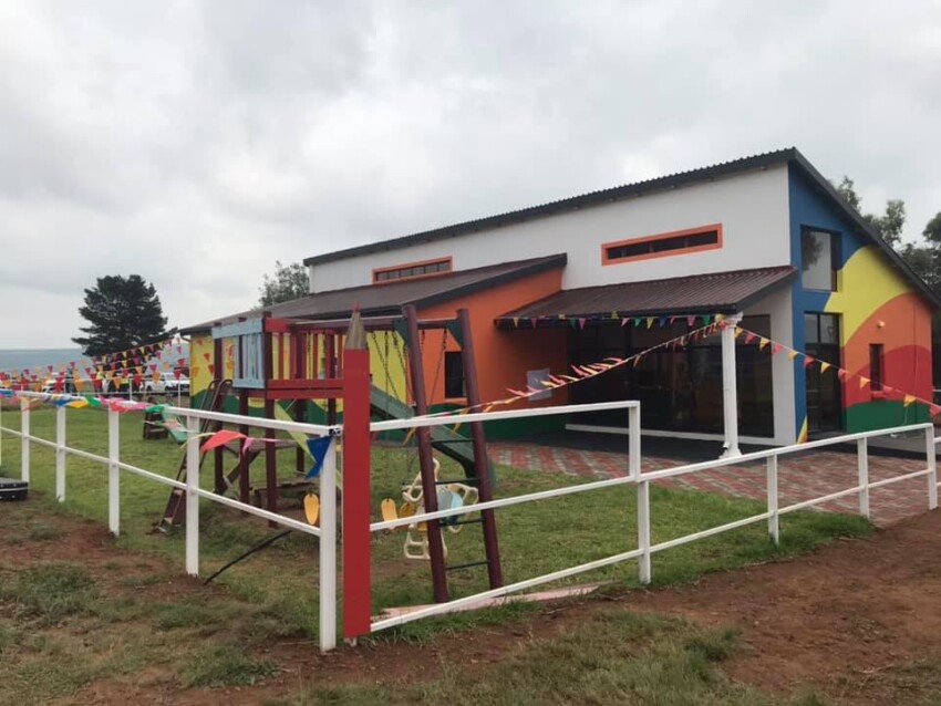
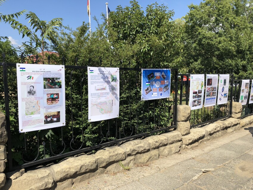
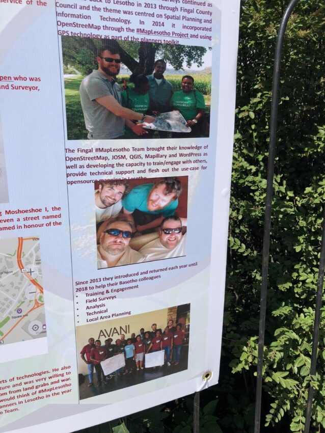
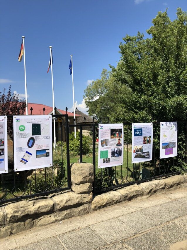
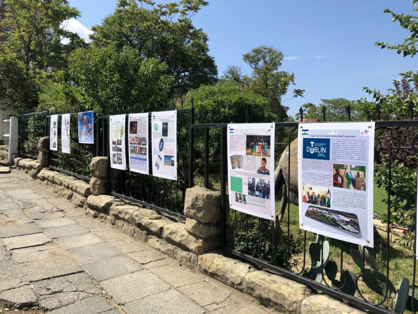
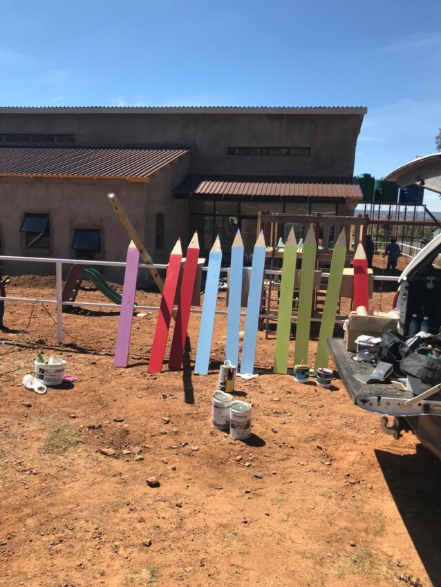
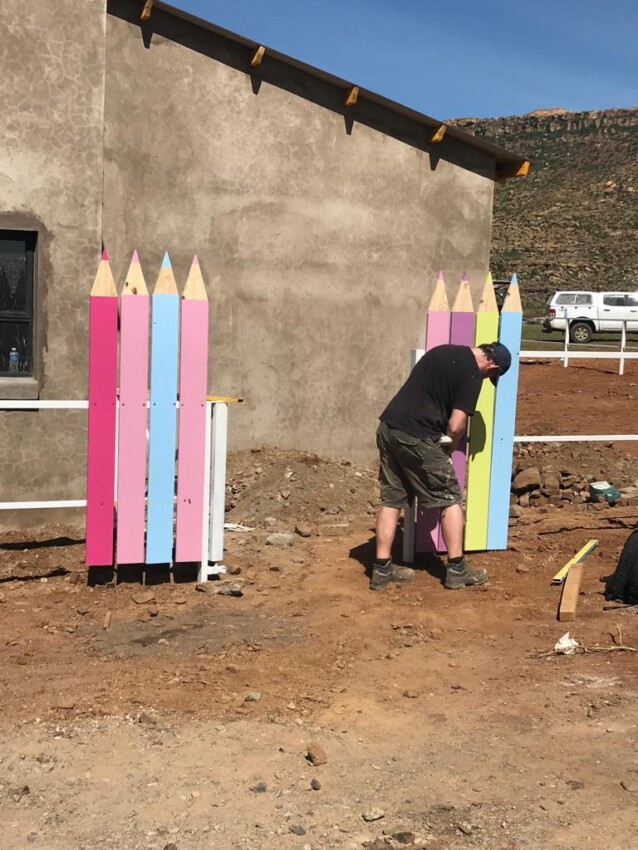
Through ‘Map Lesotho” a key initiative between Portmarnock Community School and Fingal county Council, Lesotho is the most mapped country in Africa, the impact of the mapping project now provides the details of roads, rivers, forests, which form the future plans for Lesotho, decide where to locate schools,clinics, childcare centres, transport and housing. It will also help in the protection of the environment and natural resources.
We are also planning to create the Lesotho National Spatial Strategy followed by Development and Local Area Plans. Without a coordinated plan it is not possible to plan growth and development patterns. Aligning a National Spatial Strategy with a long-term National Development Plan for Lesotho will ensure there is a meaningful framework for Basotho
The Fingal Co. Co. Scholarship Program for Lesotho Planners at TUD in Masters in Spatial Planning is ongoing with two planners now graduated and three more in their final year.